

- 5 Views
- 9 Min Read
- (0) Comment
A map of Hwange National Park shows how Zimbabwe’s largest wildlife reserve is laid out: its three main camp areas, the roads that link them, the waterholes where elephants gather, and the highway and gates that get you in. The park covers about 14,650 square kilometers (5,656 square miles) in northwestern Zimbabwe. A good map is the difference between a planned safari and an afternoon lost on sand tracks.
Hwange is mostly unfenced bush with few signposts and patchy cell signal. Maps come in several forms: a printed park map, a PDF on your phone, or a GPS app. Each one shows a different level of detail. At Maximum Adventure Trails, we guide travelers through Hwange from Victoria Falls, and the same map questions come up before almost every trip.
This guide covers why the map matters, what a detailed Hwange National Park Zimbabwe map actually shows, and how to read it on a self-drive. It also explains how to find a PDF or offline copy you can trust, and how to turn the map into a realistic route.
Why a map of Hwange National Park matters
Hwange is too big, too unfenced, and too dependent on a few water sources to explore without a map. A good map of Hwange National Park tells you where the roads run, where animals concentrate, and how far you are from the nearest camp. It does that when you have no signal and no signposts.
Size and distances you need to plan around
Hwange covers roughly 14,650 square kilometers, with elevation between about 850 and 1,133 meters. Most of it is flat Kalahari sand, teak woodland, and scrub. Distances on the map are deceptive because tracks are slow, sandy, and winding. A short line between two points can take hours.
| Detail | Figure |
|---|---|
| Location | Northwest Zimbabwe |
| Size | About 14,650 km² (5,656 mi²) |
| Victoria Falls to Main Camp | About 172 km (107 mi) |
| Bulawayo to Main Camp | About 283 km (176 mi) |
| Drive from Victoria Falls | Roughly 2 to 2.5 hours |
| Best months for wildlife | July to October |
Use the table as your outer frame. Add the time it takes to reach the park to your daily driving budget before you decide how many nights to book.
Water points drive wildlife, so they drive your route
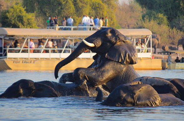
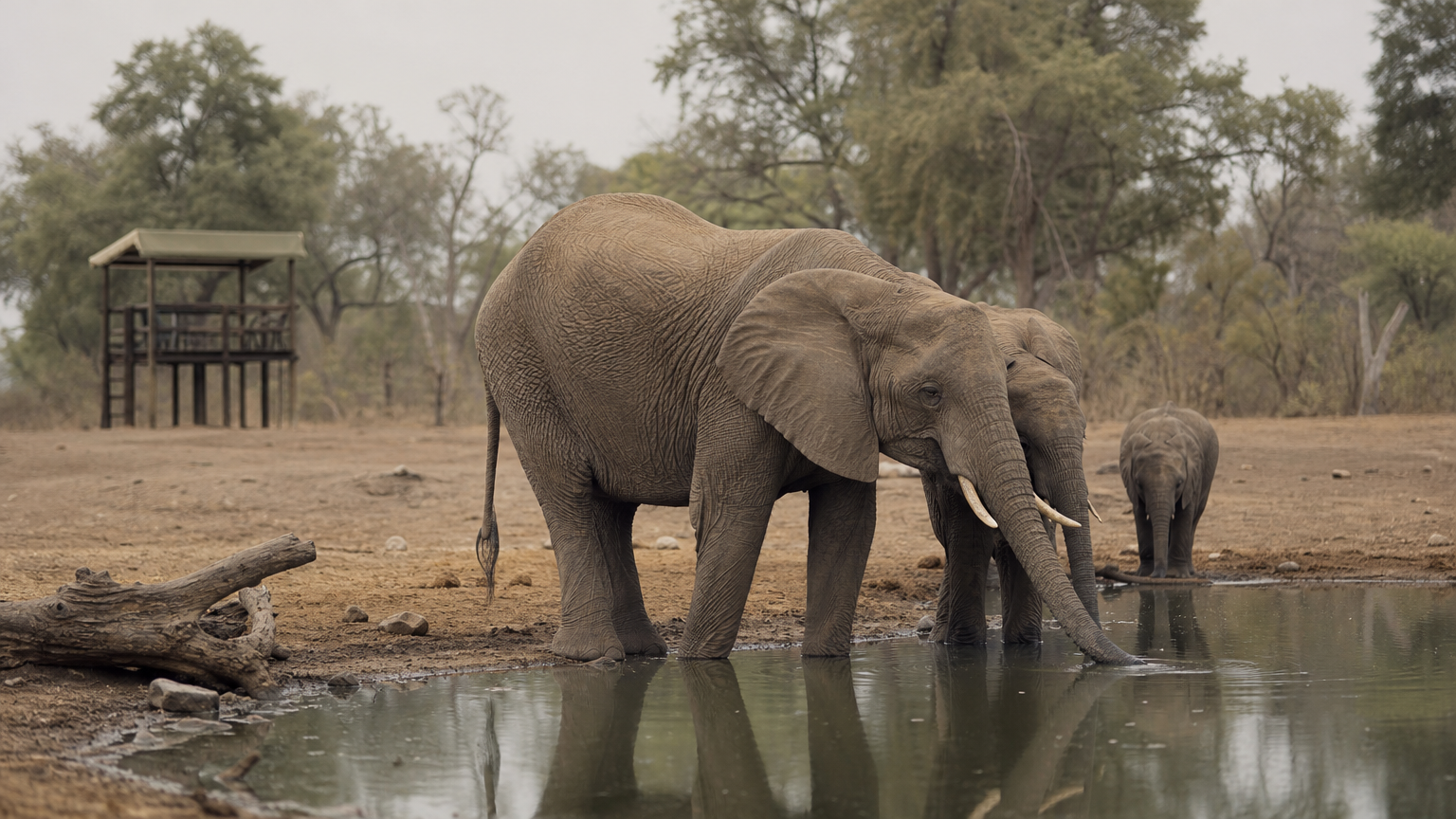
Natural water is scarce in Hwange. The park pumps groundwater into pans and dams, and animals depend on those artificial water points, especially in the dry season from April to October. Elephants gather at them in the hundreds, and the park can hold tens of thousands of them at the height of the dry months.
That makes your map a wildlife guide as well as a navigation tool. Waterholes that sit close together let you chain several sightings into one drive. A detailed map shows you which ones those are.
On a Hwange map, the waterholes matter more than the scenery.
Hwange park is not Hwange town
Searches for a Hwange map often return results for the town of Hwange, which sits outside the park. Check the boundary line before you trust any image. A park map will show the national park boundary, the rest camps, and the pans. A town map will show streets.
What a detailed map of Hwange National Park shows
A detailed map shows five layers: the boundary and access points, the camp sectors, the road network, the water points, and the private concessions. When you open any Hwange National Park map, find each layer in turn. A map missing one of them will leave a gap in your plan.
The three camp sectors
The public side of the park is organized around three rest camps run by ZimParks, the government agency that manages the park. Each anchors a different part of the map.
| Sector | Position on the map | Character | Best for |
|---|---|---|---|
| Main Camp | East-central, with the park headquarters and main gate | Open woodland, many pans and viewing platforms | First visits and self-drivers |
| Sinamatella | Northern part of the park | Rocky hills, elevated views, Mandavu Dam | Varied terrain and scenery |
| Robins Camp | Northwest | Remote, with fewer vehicles | Repeat visitors who want quiet |
| Private concessions | Enclaves inside the park | Reached through the lodge that runs them | Guided drives |
Main Camp is where self-drive visitors check in and pay entry fees. Lodge guests usually have fees handled for them.
Roads, tracks, and water points
A detailed map separates main roads from minor tracks. Main roads can usually be driven in an ordinary car. Some minor tracks need a 4×4 with good clearance, and roads that were once tarred have in many places broken up. Treat any map that shows every road as equally easy with suspicion.
Look for named pans, dams, and viewing platforms. Nyamandlovu Pan, Masuma Dam, and Ngweshla are well-known examples in the Main Camp area, and Mandavu Dam sits near Sinamatella. Picnic sites and campsites also appear on better maps.
A detailed map separates the roads you can drive from the roads you should avoid.
Concessions and the open boundary
Private concessions are enclaves of exclusive land inside the park, and their Hwange lodges handle access. If your lodge sits inside one, your drives happen there, so your map should show its borders.
Most of Hwange is unfenced. It forms part of the Kavango Zambezi Transfrontier Conservation Area, which spans five countries. Animals cross the boundary lines on your map freely, so do not expect a fence to mark them.
How to read the map on a self-drive
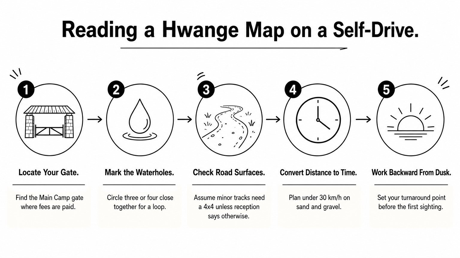
Read a Hwange map from the gate outward: find where you enter, mark your water points, check the surface of each road, and measure time rather than distance. Follow those steps before you start the engine and the map will keep you safe, not just oriented.
A five-step reading routine
- Locate your gate and reception. Most self-drive visitors enter at Main Camp, where fees are paid.
- Mark the waterholes. Circle three or four close together so that you can drive a loop.
- Check each road’s surface. If the map does not say, ask the reception staff, and assume minor tracks need a 4×4.
- Convert distance to time. Plan on averages well below 30 km/h on sand and gravel, and add stops for sightings.
- Work backward from dusk. Self-drive visits are limited to daylight hours, so set your turnaround point first.
Carry extra fuel and water, and confirm where you can refill before you enter. Do not count on cell signal to correct a wrong turn.
Rules that shape your route
Park rules affect how you use the map. You must stay on the road and in your vehicle at all times, and camp only at designated sites. Pets, motorbikes, and scooters are not allowed, and you should not feed animals or make unnecessary noise near them.
Booked accommodation should be claimed by 5:30 pm on the day of arrival, because it may be reallocated after that. This rule matters for route planning more than most people expect. A late afternoon sighting that makes you miss check-in can cost you your bed.
Plan your day backward from the time you must be at camp, not forward from the first waterhole.
Getting a Hwange National Park map PDF
The safest Hwange National Park map PDF is a recent, legible file that labels the camps, roads, and waterholes. You then save it to your phone and print a paper copy before you reach the bush. We do not host a download here, so use the checklist below to judge any file you find.
What to check in a map file
A map file earns its place in your bag only if it passes these checks:
- A scale bar and north arrow, so you can judge distance and direction.
- Labeled rest camps, gates, and the main highway.
- Named waterholes and dams, not just roads.
- Notes on road surface or 4×4 sections.
- A visible publication date, since roads and camps change.
- Text that stays readable when printed on A4 or Letter paper.
Old files are common online. If a map shows tarred roads that your lodge says have deteriorated, trust the lodge.
Offline and printed backups
Download the Hwange area in Google Maps before you leave Victoria Falls, because mobile data disappears fast inside the park. Google explains how in its offline maps guide. A phone map is useful for your position, but it will not show every waterhole or the 4×4 sections.
Pair it with a printed map. Paper never runs out of battery, and it lets two people plan a route together. Ask your lodge or booking agent for the latest map they use, since they drive these roads every week.
Turning the map into a route
The best route follows the map’s water points, stays inside one or two sectors, and leaves a buffer before dusk. Match your trip length to the area you can realistically cover. Hwange’s size tempts people to attempt too much in too little time.
Sample plans by trip length
| Trip length | Suggested focus | Map areas to study |
|---|---|---|
| One day from Victoria Falls | One short loop near the entrance | Main Camp and its nearest pans |
| Two to three nights | One base, two or three loops | Main Camp sector, or Sinamatella |
| Four nights or more | Two bases | Main Camp plus Sinamatella or Robins Camp |
A Hwange day trip works, but the drive takes two to two and a half hours each way, which leaves little time inside the park. Staying at least one night gives you dawn and dusk, when animals are most active at water.
When a guide beats the map
Some parts of Hwange are hard to use on your own. Private concessions are reached through their lodges, and sandy tracks reward experience. A guide knows which pans are active this week, which tracks are passable after rain, and where the animals are right now.
Maximum Adventure Trails runs guided game drives and multi-day safaris in Hwange, with transfers from Victoria Falls. You still benefit from reading the map. A traveler who knows the sectors asks better questions and picks better days.
A map shows where the roads are, and a guide knows what is happening on them today.
Take the map into the bush
A map of Hwange National Park works when you read it as a plan. It shows the camp sectors, the road quality, the water points, and the private concessions. Distances on it are slow ones, so budget time before distance and let the waterholes shape your loops.
Download an offline copy, print a recent PDF, and check the details with your lodge. Then decide whether to drive yourself or bring a guide. If you want help choosing, talk to Maximum Adventure Trails about a guided Hwange safari. We can sort out the transfers, the lodging, and the route while you focus on the elephants.